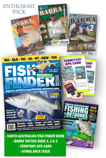
Description
FISH FINDER’s Enthusiast Pack has the information you need to catch the NT’s Million Dollar Fish.
Each year 100 or so tagged barramundi are released into Territory waters, each worth $10k, with some eligible for a single $1m prize.
For those chasing this annual cash bounty, we offer a feast of hardcore Top End fishing information.
The Enthusiast Pack includes …
*One North Australian FISH FINDER book of highly-detailed fishing maps, including rockbar maps
*The superb AFN Barra Tactics DVDs 1, 2 and 3, covering various aspect of barramundi fishing in the wild and impoundments
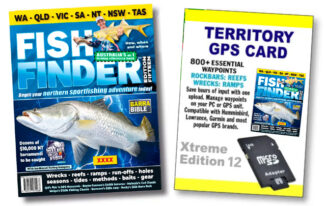
*One NT Fishing GPS Data Card for your sounder, which has 680+ waypoints for river rockbars, wrecks, reefs, ramps and more
*A random North Australian Fishing and Outdoors Magazine back issue, or browse the catalogue and specify which NTMAG back issue you’d like when you order
The perfect pack for a fishing enthusiast heading north.